Resources
| Sr. No. | Geospatial Data Asset | Resolution / Scale | Format | Type | Coverage |
|---|---|---|---|---|---|
| 1 | State | 1:50,000 | Vector | Polygon | Pan India |
| 2 | District | 1:50,000 | Vector | Polygon | Pan India |
| 3 | Taluka / sub-district | 1:25,000 | Vector | Polygon | Pan India |
| 4 | Block | 1:25,000 | Vector | Polygon | Pan India |
| 5 | Panchayat | 1:10,000 | Vector | Polygon | Pan India |
| 6 | Village | 1:10,000 | Vector | Polygon | Pan India |
| 7 | Village | 1:10,000 | Vector | Point | Pan India |
| 8 | City / Municipal ward | 1: 2,500 | Vector | Polygon | Pan India |
| Sr. No. | Geospatial Data Asset | Resolution / Scale | Format | Type | Coverage |
|---|---|---|---|---|---|
| 1 | Highways | 1:10,000 | Vector | Line | Pan India |
| 2 | State Road | 1:10,000 | Vector | Line | Pan India |
| 3 | District Road | 1:10,000 | Vector | Line | Pan India |
| 4 | Village Road | 1:10,000 | Vector | Line | Pan India |
| Sr. No. | Geospatial Data Asset | Resolution / Scale | Format | Type | Coverage |
|---|---|---|---|---|---|
| 1 | Mountain | 1:10,000 | Vector | Point /Label | Pan India |
| 2 | Peaks | 1:10,000 | Vector | Point /Label | Pan India |
| 3 | Valleys | 1:10,000 | Vector | Point /Label | Pan India |
| 4 | Rivers | 1:10,000 | Vector | Point /Label | Pan India |
| Sr. No. | Geospatial Data Asset | Resolution / Scale | Format | Type | Coverage |
|---|---|---|---|---|---|
| 1 | Pin Code | 1:10,000 | Vector | Polygon | Pan India |
| 2 | Post Office | 1:10,000 | Vector | Point | Pan India |
| Sr. No. | Geospatial Data Asset | Resolution / Scale | Format | Type | Coverage |
|---|---|---|---|---|---|
| 1 | Parliamentary Constituency | 1:50,000 | Vector | Polygon | Pan India |
| 2 | Assembly Constituency | 1:50,000 | Vector | Polygon | Pan India |
| 3 | Booth location | 1:2,500 | Vector | Point | Pan India |
| Sr. No. | Geospatial Data Asset | Resolution / Scale | Format | Type | Coverage |
|---|---|---|---|---|---|
| 1 | River basin | 1:50,000 | Vector | Polygon | Pan India |
| 2 | Sub-basin | 1:50,000 | Vector | Polygon | Pan India |
| 3 | Macro Watershed | 1:25,000 | Vector | Polygon | Pan India |
| 4 | Macro Watershed | 1:10,000 | Vector | Polygon | Pan India |
| 5 | Lakes / Reservoirs | 1:10,000 | Vector & Raster | Polygon/ matrix | Pan India |
| 6 | Snow / Glaciers | 1:10,000 | Vector & Raster | Polygon/ matrix | Pan India |
| Sr. No. | Geospatial Data Asset | Resolution / Scale | Format | Type | Coverage |
|---|---|---|---|---|---|
| 1 | Reserve Forest | 1:50,000 | Vector | Polygon | Pan India |
| 2 | Protected Area | 1:10,000 | Vector | Polygon | Pan India |
| 3 | Environmental Sensitive Zones | 1:0,000 | Vector | Polygon | Pan India |
| 4 | Forest Type – Training set | 1:10,000 | Vector | Polygon | Pan India |
| Sr. No. | Geospatial Data Asset | Resolution / Scale | Format | Type | Coverage |
|---|---|---|---|---|---|
| 1 | Agro Climatic Zones | 1:50,000 | Vector & Raster | Polygon/ matrix | Pan India |
| 2 | Soil Types | 1:50,000 | Vector & Raster | Polygon/ matrix | Pan India |
| Sr. No. | Geospatial Data Asset | Resolution / Scale | Format | Type | Coverage |
|---|---|---|---|---|---|
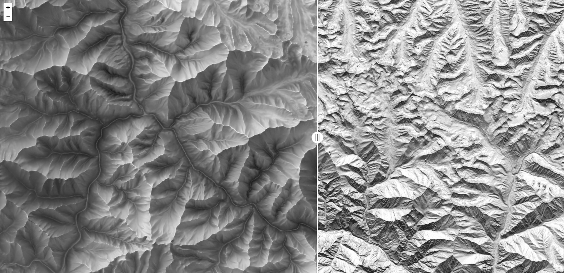
| 1 | Elevation Zone | 1:10,000 | Vector & Raster | Polygon/ matrix | Pan India |
| 2 | Slope Zone | 1:10,000 | Vector & Raster | Polygon/ matrix | Pan India |
| 3 | Aspects | 1:10,000 | Vector & Raster | Polygon/ matrix | Pan India |
| 4 | Spot Heights | 1:10,000 | Vector | Point | Pan India |
| 5 | Drainage Network – Stream Orders | 1:10,000 | Vector | Line | Pan India |
| Sr. No. | Geospatial Data Asset | Resolution / Scale | Format | Type | Coverage |
|---|---|---|---|---|---|
| 1 | Elevation Zone | 1:10,000 | Vector & Raster | Polygon/ matrix | Pan India |
| 2 | Slope Zone | 1:10,000 | Vector & Raster | Polygon/ matrix | Pan India |
| 3 | Aspects | 1:10,000 | Vector & Raster | Polygon/ matrix | Pan India |
| 4 | Spot Heights | 1:10,000 | Vector | Point | Pan India |
| 5 | Drainage Network – Stream Orders | 1:10,000 | Vector | Line | Pan India |